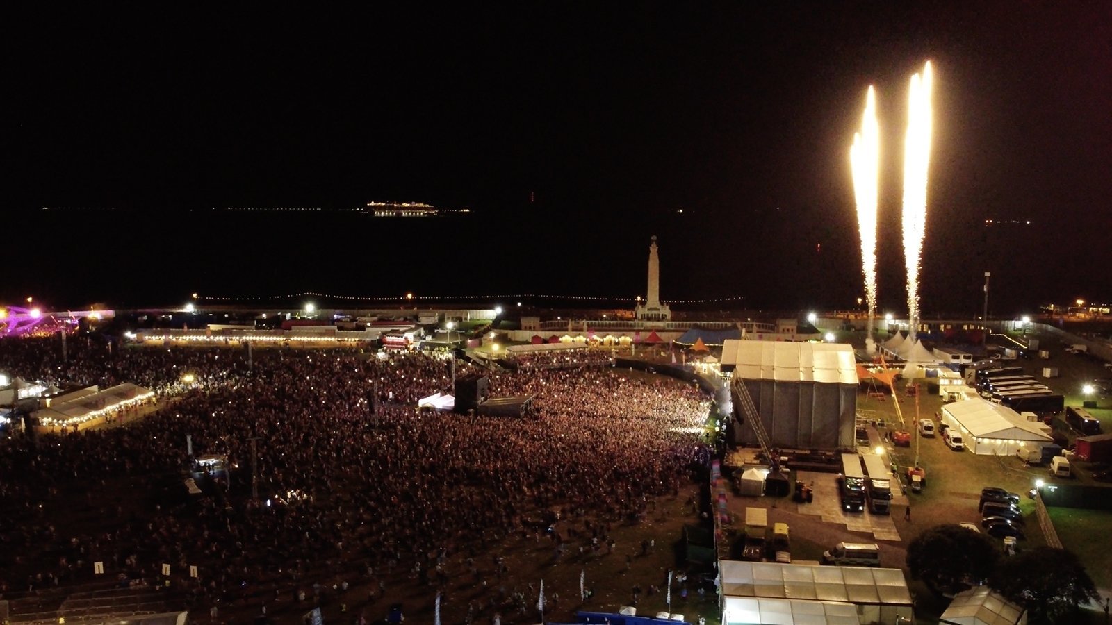
Future-proofed orthomosaic drone mapping for Victorious Festival, Portsmouth
Many drone companies are producing videos and taking photos for festivals — we’ve done it many times ourselves! — but UAVs can also be used to capture detailed maps of event sites. We were ecstatic when Victorious asked us to shoot orthomosaic coverage of their seaside festival grounds!
Let’s get nerdy for a few seconds. An ‘orthomosaic’ is defined as: ‘a photogrammetrically orthorectified image product mosaicked from an image collection’.
‘Photogrammetry’ is the practice of making measurements from photographs, and ‘orthorectification’ is the process of removing the effects of image perspective.
Here, you can see how we used that ‘parallax’ data to produce a 3D model of the festival site — even more powerful than a 2D top-down scan, as it makes real-world space easier to comprehend and contextualise.
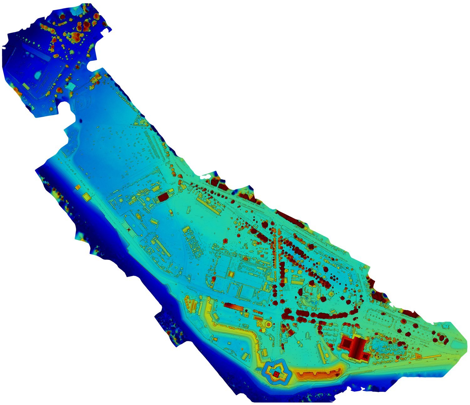
And here’s how it translates to an elevation map:
An ‘orthomosaic’, then, is one large image made up of many smaller pictures, in which differing perspectives have been ‘flattened out’ and photo elements ‘stitched together’ by a program that identifies common objects.
On a large scale, this is how global mapping works — Google Maps, for example, is essentially one giant orthomosaic.
On a smaller scale, you’re producing an orthomosaic whenever you move your smartphone sideways to shoot a panoramic photo!
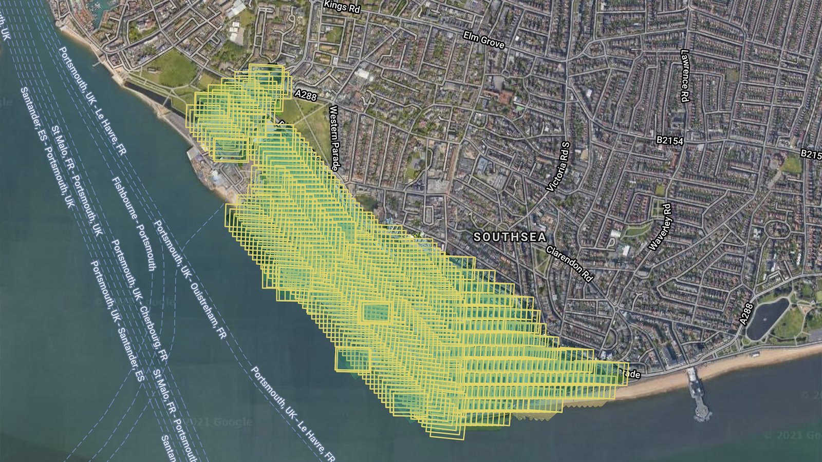
The photos can be viewed as a single mosaic, or as hundreds of individual shots laid over satellite imagery in a special app. The video below shows how you can zoom in and view each photo on a Google Maps layer:
Victorious Festival organisers can use the orthomosaic maps we captured of their sites — the main area, the Park & Ride facility, the camping ground, etc. — to plan event layouts more accurately and efficiently for years to come.
Our drone imagery is higher-resolution and more up-to-date than the typical satellite scan, so plotting out a row of food stalls but coming up a few metres short for a couple of the traders on the end will be a thing of the past!
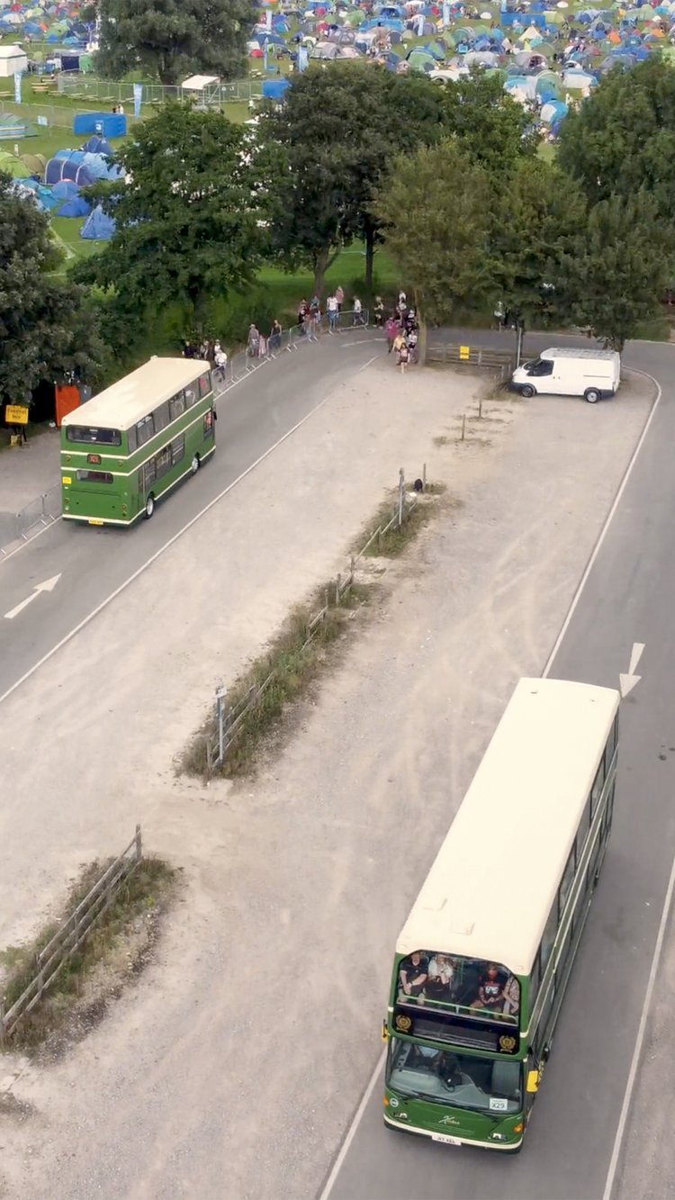
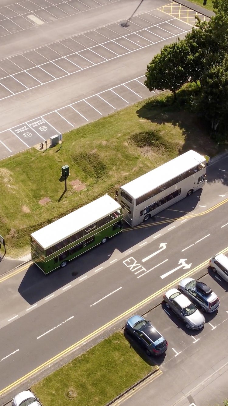
2021 was the perfect year to take on this job. New drone laws make it easier to fly above people when crowds aren’t too congested. When the festival got busier, those new laws permitted us to fly 50 metres away (horizontally) from the edge of the festival ground, so we could record footage of facilities, entrances, exits, car parks, etc. — all great visuals for Victorious to use in their video showcases.
Historic documentation
This was one of hundreds of aerial surveys we’ve conducted over the past few years, and the longer we work in the drone industry, the more valuable these projects become.
With clients from every kind of industry calling us back time and time again to add new layers of data to their maps and blueprints, we’re continuously helping them streamline their operations — and creating a new kind of geographical archive while we’re at it.
In fact, we’re likely the last to have captured certain sections of the seafront in their current state; the state they’ve been in for the past few decades. As we write this, Southsea Coastal Scheme — the regeneration team whose strengthening of Portsmouth’s coastline and sea defences are an exciting part of the future of the fabric of our city — have just announced a closure of the promenade between Blue Reef Aquarium and The Pyramids Centre.
Some of our aerial shots of their ongoing work from February 2021:
A couple of years from now, this section of the seafront will look completely different. This is one of the reasons we’re such avid documentarians. We know how useful this kind of orthomosaic information can become. The work we’re doing with drones is the next generation of the ordnance maps Southsea Coastal Scheme are no doubt using to plot their projects.
There’s another reason we’re so passionate about documenting the now: a zealousness for preserving a place’s character. There are countless millions of photos taken and stories shared across the world every single day, but they’re so quickly forgotten. Museums, archivists, and historians do a brilliant job of curating these sprawling media into concise threads which cut through the noise of time.
We love contributing to that effort. The drone industry is still somewhat in its infancy, so new methods of storing and sharing the information and visuals we capture often come and go. But we always back everything up in raw formats that we know will last for generations. It’s a solid business tactic, too — clients are often shocked at how quickly we can pull up years-old projects!
As long-term thinkers, we get very excited at the prospect of our work one day being regarded as historic artefacts. We see the imagery on display in all of Portsmouth’s museums and think to ourselves: wow, what we’re doing now will help elicit the same feelings of awe we’re witnessing for future generations. It’s no wonder we love doing what we do. What a fantastic responsibility.
Fun of the festival
It was great to see how the festival unfolds behind the scenes. Our four-person team worked closely with the on-site health and safety crews, and we liaised with another drone pilot who was covering the more promotional aspects of aerial filmmaking and photography.
At one point, we found ourselves — almost inadvertently! — backstage. We even spotted Rag'n'Bone Man! We’re big fans, so it was a great moment.
The whole event was incredibly COVID-safe, and it was our son George’s first full-blown festival! A memory we’ll treasure forever.


