Orthomosaic drone mapping for Victorious Festival
Detailed aerial surveys of Portsmouth's seaside festival grounds
Pre-Production
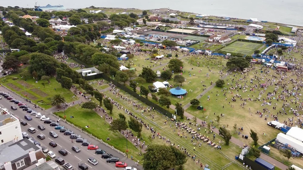
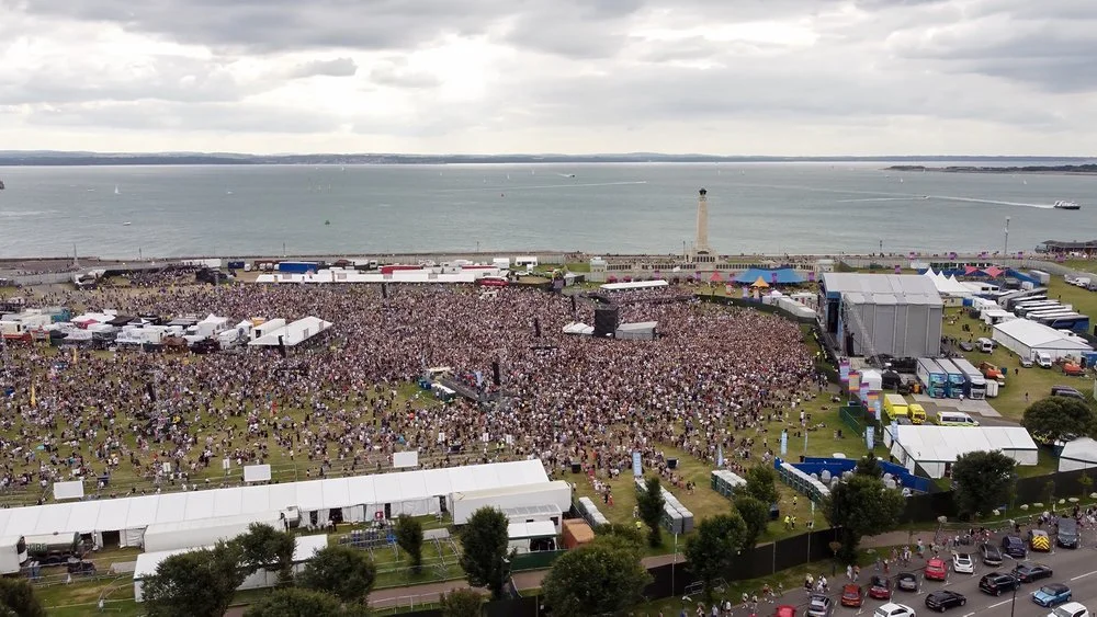
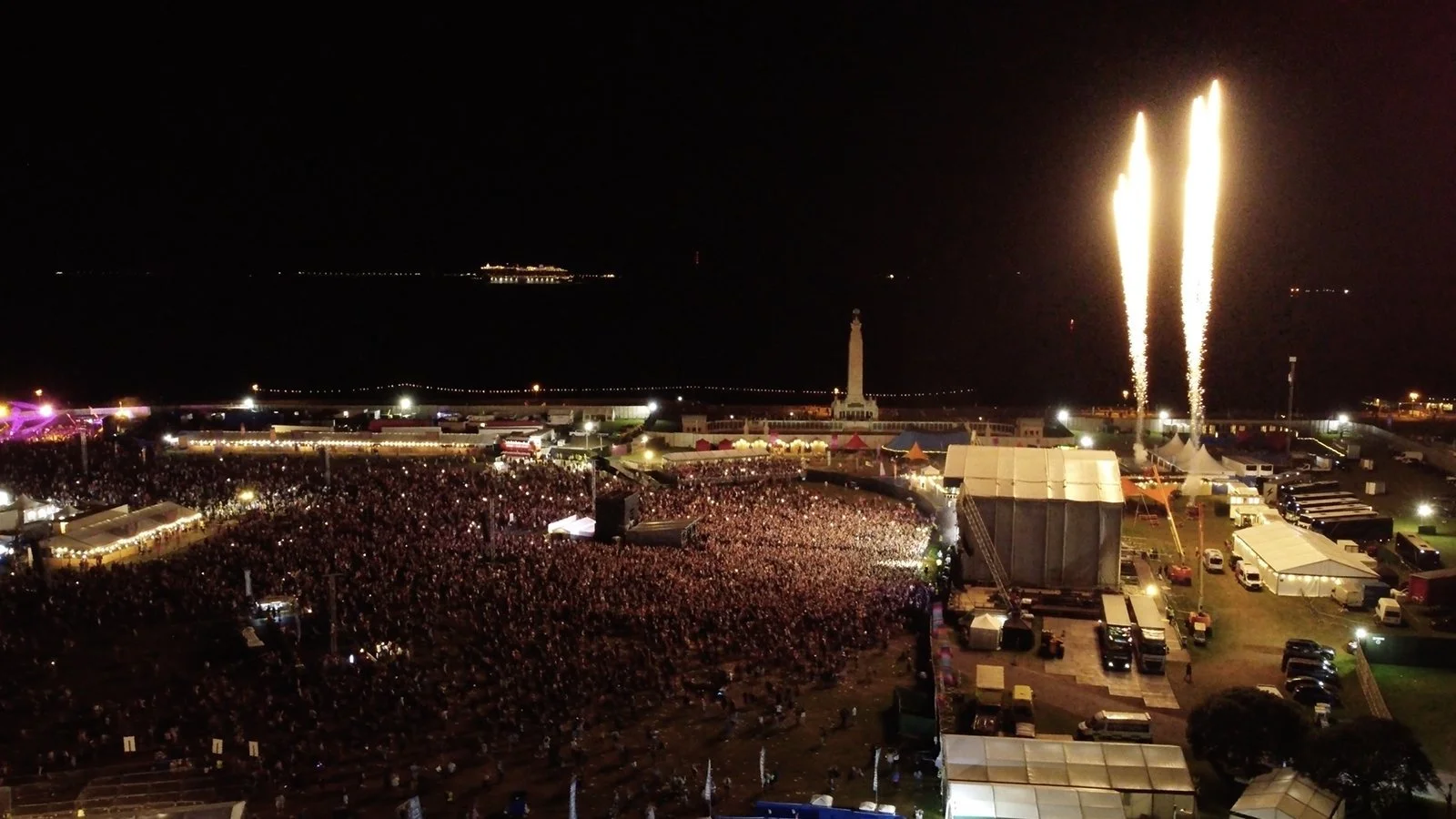
Our four-person team worked closely with the on-site health and safety crews, and we liaised with another drone pilot who was covering the more promotional aspects of aerial filmmaking and photography. 2021 was the perfect year to take on this job - new drone laws made it easier to fly above people when crowds aren't too congested, and permitted us to fly 50 metres from the edge of the festival ground when it got busier.
Production
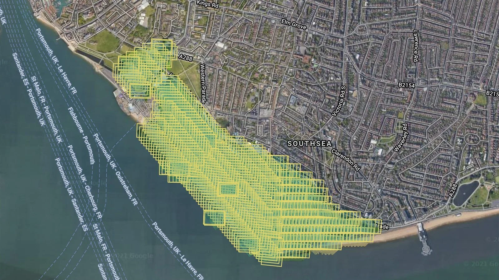
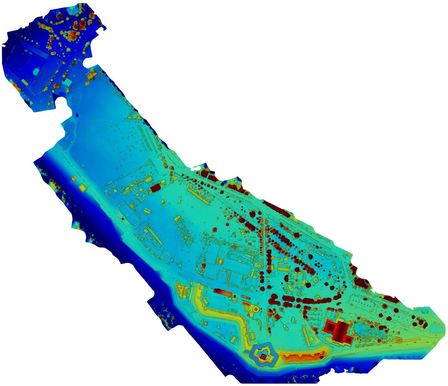
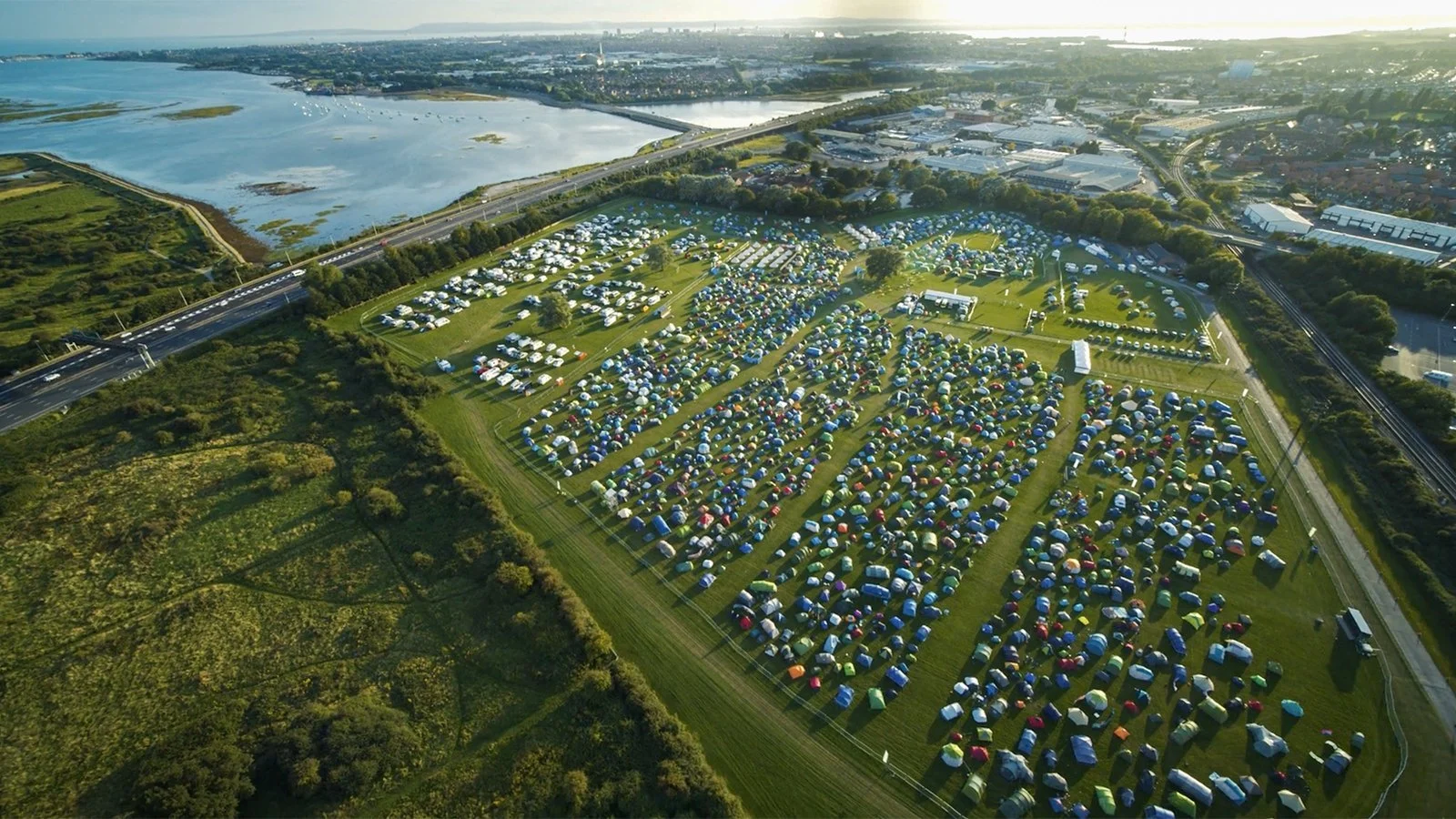
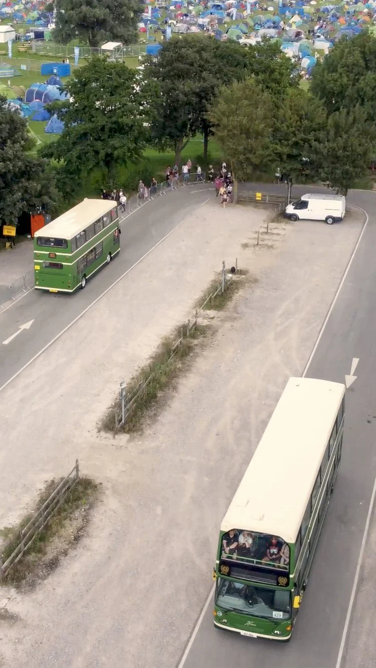
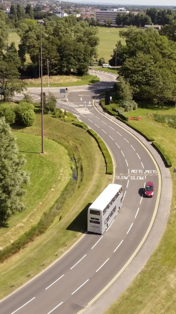
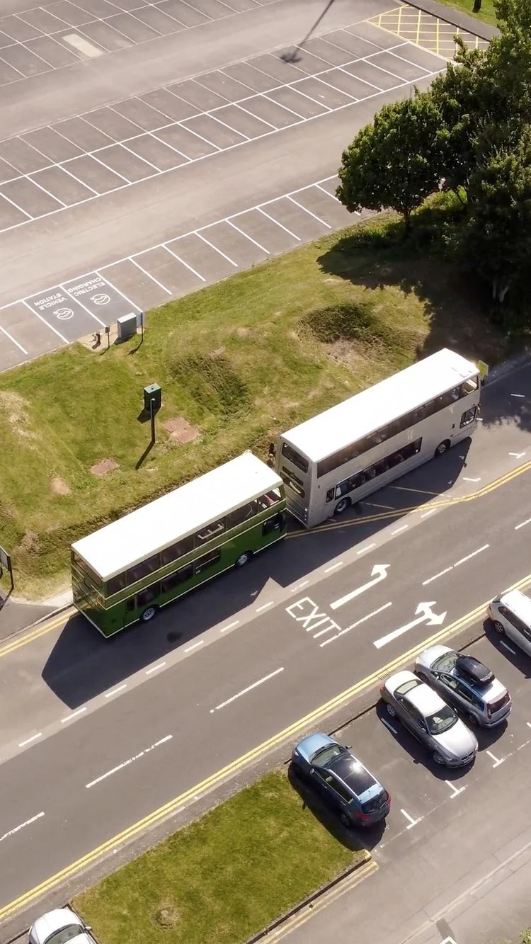
Victorious Festival organisers can use the orthomosaic maps we captured of their sites - the main area, the Park and Ride facility, the camping ground, and more - to plan event layouts more accurately and efficiently for years to come. Our drone imagery is higher-resolution and more up-to-date than the typical satellite scan, so plotting out a row of food stalls but coming up a few metres short will be a thing of the past!
Post-Production
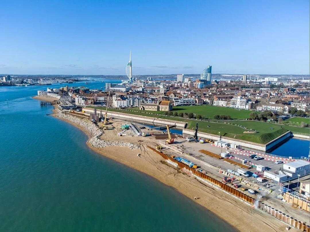
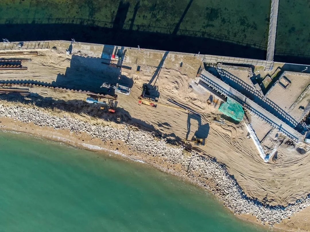
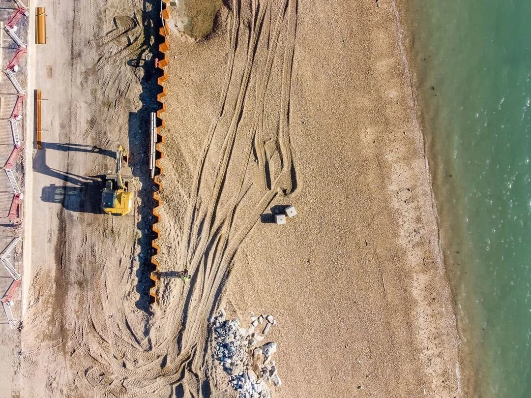
This was one of hundreds of aerial surveys we've conducted, and the longer we work in the drone industry, the more valuable these projects become. We always back everything up in raw formats that we know will last for generations (clients are often shocked at how quickly we can pull up years-old projects). We're likely the last to have captured certain sections of the Southsea seafront in their current state, before the exciting Southsea Coastal Scheme regeneration work transforms the area.
Equipment Used
Filming Locations

Ready for take-off?
Whether you need aerial footage, drone surveys, or creative consultation, let's talk.